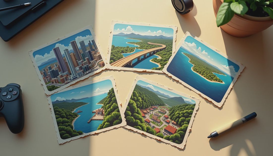
The GTA VI map locations confirmed in Rockstar’s public presentation include Vice City, Leonida Keys, Grassrivers, Port Gellhorn, Ambrosia, and Mount Kalaga National Park. These six names provide a useful starting index for Leonida. They do not establish six equally sized regions, six cities, or the full extent of the playable map.
With the October launch campaign putting fresh attention on the setting, it is worth sorting the geography before drawing routes across it. A location name, an official screenshot, and a measured map are three different kinds of information.
This guide identifies the named places, explains how Rockstar’s material groups them, and separates usable world information from estimates about distance, access, and activities.
In this guide
Leonida and Vice City: the distinction
Six named locations to recognize
What the screenshot collections establish
Character connections to the setting
Reading the world without inventing a map
FAQ
Leonida Is the Setting; Vice City Is Part of It
Rockstar places the story across Leonida, including Vice City. The official synopsis describes Jason and Lucia becoming involved in a criminal conspiracy extending across the state.
That distinction changes how to read a headline about the “Vice City map.” The city is a major named location, but it should not be used as shorthand for every environment Rockstar presents.
It also helps separate three questions:
Where is the story set? Leonida is the published state setting.
Which places have official names? Rockstar provides several identifiable destinations.
How are they connected during play? Names alone do not establish routes, distances, or access rules.
The first two have useful official answers. The third needs more specific evidence.
For players, this means keeping a location index separate from a route guide. An index tells you what a place is called. A route guide must show where you start, how you travel, and whether anything prevents the journey.
A promotional edit cannot reliably supply those missing steps.
Six Named Places, Without Turning Them Into Six Cities
Rockstar’s destination presentation and media labels give us six clear names to track. Use the spelling attached to the official material, particularly when distinguishing a destination from a broader area.
Official name | How it appears in the reviewed material | Useful distinction |
|---|---|---|
Vice City | Destination, screenshot, and postcard labels | A named city within Leonida |
Leonida Keys | Destination, screenshot, and postcard labels | Do not confuse it with the whole state |
Grassrivers | Destination, screenshot, and postcard labels | An official place name, not a fan nickname |
Port Gellhorn | Destination, screenshot, and postcard labels | A separate named destination |
Ambrosia | Destination, screenshot, and postcard labels | Its name does not establish municipal boundaries |
Mount Kalaga National Park | Screenshot and postcard labels; shortened destination wording also appears | Preserve the distinction between the full label and shorthand |
Six names are an organizational fact, not a map measurement. A media collection can group images by destination without explaining how large the destination is or where its boundary falls.
Likewise, the absence of a place from this table should not be read as proof that it cannot exist in the game. This is an index of the reviewed official destination material, not a claim to have cataloged every street.
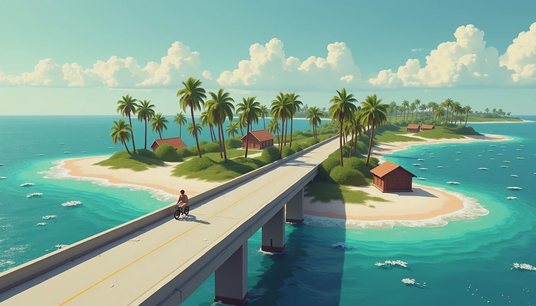
The Screenshot Collections Are Useful for Identification
Official image labels provide a firmer starting point than an unlabeled repost. Rockstar’s media library groups screenshots under names such as Vice City, Ambrosia, and Port Gellhorn, with numbered items within those groups.
Those labels can establish the intended location context of a particular promotional image. They do not automatically identify the camera’s coordinates or the direction it faces.
That distinction matters when comparing two views. A numbered filename is an asset identifier; it is not a route sequence. “01” followed by “02” does not mean the second image lies around the next corner.
For later visual articles, the useful record is straightforward: image title, location label, source collection, and the specific detail being discussed. That keeps an observation attached to the right picture.
It also makes corrections possible. If an image was assigned to the wrong destination in a fan compilation, the original label gives readers something concrete to check.
The Keys Have a Direct Character Connection
Leonida Keys is connected to Jason’s published background. Rockstar describes him working around local drug runners there after his Army service.
Brian Heder’s biography adds another specific connection: he operates through a boat yard in the Keys. That ties the setting to a named person and line of work.
The practical value is narrative context. These references establish that a destination participates in the characters’ circumstances, rather than existing only as a scenic label.
They do not establish a player-owned boat yard, a property purchase, or a repeatable business activity. A place where a character works is not automatically a business the player can operate.
My reading: connections like this are more interesting than an unsupported claim about square mileage. A large world becomes a story world when its places contain obligations, livelihoods, and people who expect something from one another.
What I Want to Learn From the Different Places
My interest is in how locations produce different pressures on the same characters. That is a critical question, not a feature announcement.
When there is enough documented material to compare the destinations, I would examine three things: what each place advertises, what people appear to do there, and which spaces separate public presentation from private activity.
A commercial frontage might project prosperity. A service road might reveal the work supporting it. Neither observation requires claiming an enterable building or an available mission.
That approach also prevents every location from becoming a checklist of landmarks. A memorable neighborhood needs relationships between its parts: roads, businesses, housing, gathering places, and the people moving through them.
For now, the names provide a structure for those questions. They do not answer them in advance.
What the Named Locations Do Not Tell Us
No defensible travel-time estimate follows from this destination list alone. Measuring a journey requires a route, a travel method, conditions, and an actual test.
A fan reconstruction may be a thoughtful research project, but its assumptions should remain visible. Edited footage can change viewpoint, time, and location between adjacent shots.
The same caution applies to activities. A landscape does not establish hunting. Water does not establish a particular boating system. A visible building does not establish an accessible interior.
Keep the location name, the visible evidence, and the playable claim separate.
That makes the information more useful. Readers can recognize a destination without being handed a fictional itinerary.
Frequently Asked Questions
Is Leonida another name for Vice City?
No. Rockstar presents Leonida as the state setting and Vice City as a location within it.
Are all six named places cities?
The reviewed material does not establish that. The names include a city, the Keys, and a national park. Treat them as destinations rather than identical administrative units.
Do the official screenshots reveal the complete map?
They provide selected views and location labels. That is different from a complete map with established boundaries, routes, and distances.
Can the old Vice City map be used as a GTA VI navigation guide?
Do not assume that it can. A shared place name does not establish an identical street layout, scale, or route network.
There’s always a story on the next block.