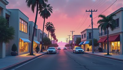
The GTA 6 map size question sounds simple until you try to measure a world that Rockstar has not published as a clean square-mile diagram. We have official trailers, named locations, visible roads, beaches, waterways, and a broad view of Leonida. We do not have an official area figure. That distinction matters, because the internet is very good at turning a coastline, a blurry screenshot, and a ruler into a declaration from the governor.
What we can say is more useful than a fake number. Grand Theft Auto VI is set across Leonida, with Vice City as its most recognizable urban center. Official footage also shows wetlands, islands, rural roads, smaller communities, industrial spaces, and long stretches of coast. The result appears designed to offer more than a larger version of one city. It looks like a state-shaped playground where the spaces between major locations are part of the story.
What is officially confirmed about the GTA 6 map size
Rockstar’s official trailers establish the setting and several regions, but they do not provide a scale bar or total land-area measurement. The first trailer introduced Vice City, beaches, highways, neighborhoods, waterways, and rural surroundings. Later official material expanded the view of Leonida with places including the Keys, Grassrivers, Port Gellhorn, Ambrosia, and Mount Kalaga. These names are confirmed through Rockstar’s own promotional material, not merely through fan map projects.
That gives us a strong outline but not a final measurement. A screenshot can show that two places exist without telling us whether the drive between them takes three minutes or fifteen. Trailer editing also compresses distance. A shot of a dirt road followed by a city skyline may represent a nearby transition, or it may be visual shorthand for the wider region. Until Rockstar releases a full map or the game is playable, exact mileage remains unknown.
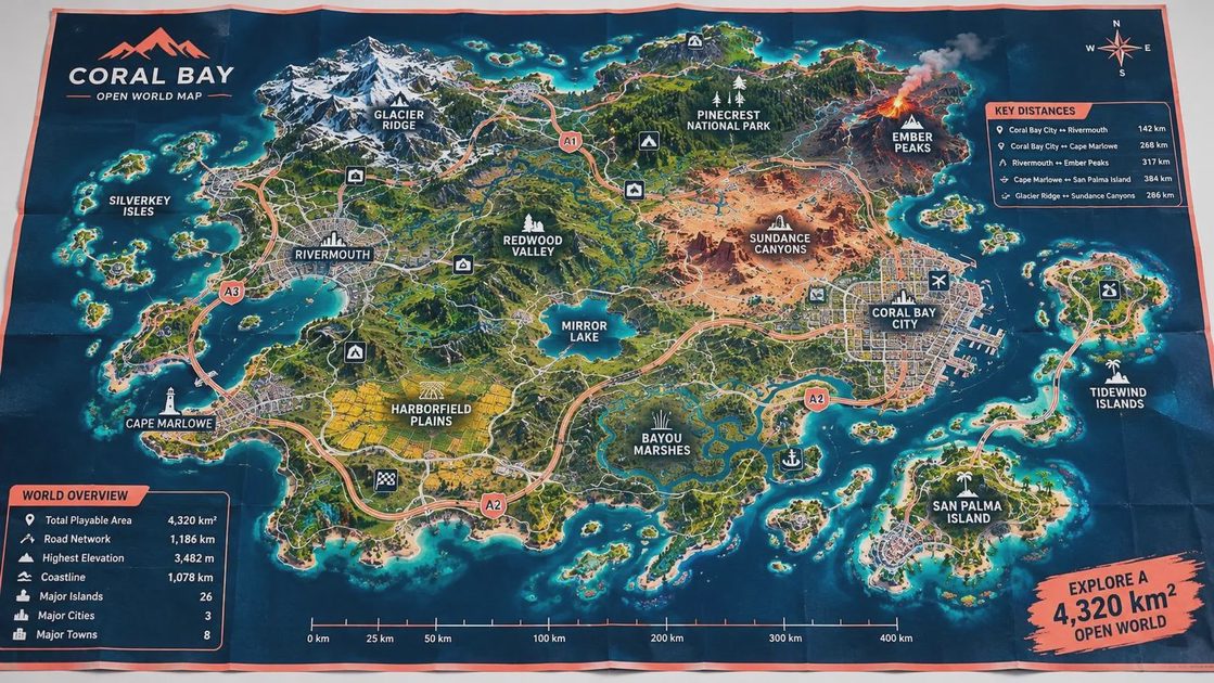
The safest reading of the GTA 6 map size is therefore comparative. The map is clearly broader in geography than a single Vice City recreation, yet its practical scale will depend on road density, travel speed, interior spaces, water routes, and how much of the surrounding terrain is explorable.
Why a map can feel bigger without being huge
GTA V is a helpful comparison, although it can also mislead. Los Santos and Blaine County combine a dense city, desert, mountains, highways, coastline, and scattered settlements. That variety makes the world feel substantial even when a player is not crossing every possible corner. Leonida appears to follow a similar principle, with a major city balanced against wetlands, coastal areas, smaller towns, and open country.
The GTA 6 map size will be felt through friction and texture as much as distance. A straight highway across empty land can cover ground quickly but create little memory. A narrow road through marshes, a bridge with limited exits, or a beach route interrupted by construction can make a shorter journey feel more involved. Vice City’s urban blocks may produce the opposite effect: a compact area packed with alleys, storefronts, parking lots, apartments, and mission entrances.
Water is another major variable. The official footage shows boats and extensive waterways, but we do not yet know how freely those routes connect. If canals, rivers, bays, and offshore islands are practical travel spaces, Leonida could feel much larger than its land outline suggests. If they mainly serve as scenery, the usable map will feel more compact.
The regions that shape Leonida
Vice City is the anchor, but the surrounding regions are what make the GTA 6 map size conversation interesting. The Keys suggest a chain of coastal locations rather than one isolated island. Grassrivers points toward a wetland environment with a different rhythm from the city. Port Gellhorn appears to offer a rougher, less polished settlement, while Ambrosia suggests industrial or small-town spaces away from the tourist image of Vice City. Mount Kalaga adds elevation and a landmark that can change how players navigate the world.
These regions do not need to be enormous to matter. A narrow strip of highway can become important if it connects missions, businesses, safehouses, and side activities. A modest marsh can feel deep when roads split, visibility drops, and boats offer alternate routes. GTA has always used environmental contrast to make travel feel like a change of chapter. The drive from a neon hotel district to a dusty roadside stop tells you something before anyone speaks.
There is also a storytelling benefit. A broader Leonida gives Rockstar room to place different versions of ambition next to one another: expensive waterfront development, working industrial areas, tourist traps, isolated homes, and communities that exist outside the polished center. That is interpretation, not a confirmed statement of intent, but the visible setting supports the reading.
How fans should treat leaked measurements and comparison maps
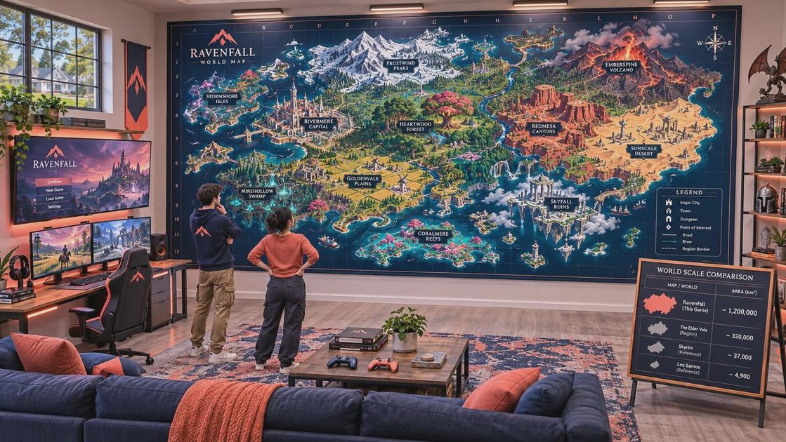
Fan-made maps can be useful for organizing trailer observations, but they are not official measurements. Some projects trace road layouts from footage, satellite imagery, or reported leaks. Others combine confirmed locations with speculation about unshown areas. A finished-looking map can therefore create false confidence, especially when colors and labels make guesses look like cartography.
The same caution applies to claims that the new world is a specific percentage larger than GTA V. Without a verified scale for both maps, those calculations are usually comparing estimates with estimates. A map’s coastline, playable water, inaccessible mountains, and interior buildings can also be counted in different ways. Two people can measure the same world and reach different answers without either one making a mathematical error.
For now, the responsible answer about the GTA 6 map size is that Rockstar has shown a large, varied open world but has not confirmed its dimensions. Treat exact square-mile claims as speculation unless they come directly from an official source.
What to watch when more footage arrives
Future official trailers and gameplay videos should reveal more than new landmarks. Watch for repeated roads, travel times between known locations, traffic density, bridge placement, skyline visibility, and whether the camera crosses regions in one continuous sequence. Those details can help establish scale without requiring Rockstar to publish a number.
Pay attention to how often the game cuts away during travel. A continuous drive from Vice City toward the Keys would tell us more than a montage of separate locations. Boat footage could clarify whether waterways are shortcuts, open exploration zones, or mostly visual decoration. The relationship between mission areas and ordinary neighborhoods will also show whether the world is broad but sparse or dense from curb to curb.
Until then, the best conclusion is pleasantly incomplete: the GTA 6 map size appears ambitious because Leonida is built around contrasts, not just a bigger rectangle. There is a city to learn, a coastline to follow, and plenty of questionable turns waiting beyond the next exit. There’s always a story on the next block.